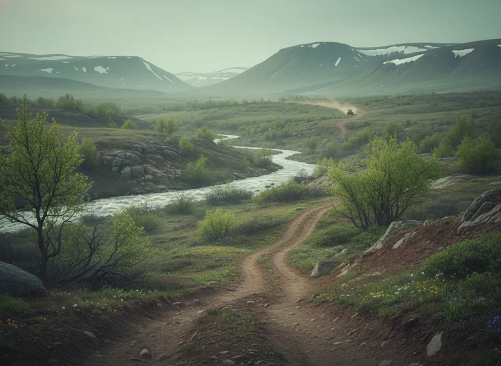
Shoshone National Forest encompasses 2.4 million acres of the northwestern Wyoming Rocky Mountains: the first national forest in the United States, designated by President Benjamin Harrison in 1891, wrapping around the eastern boundary of Yellowstone National Park across Park, Teton, Hot Springs, and Fremont counties. Within this vast forest, the USDA Forest Service designates OHV trail and forest road networks concentrated outside the wilderness boundaries in the Dubois Ranger District (centered on the Wind River headwaters above Dubois), the Wapiti Ranger District (east of Yellowstone), and the Greybull Ranger District (northern Absaroka-Beartooth front). The terrain is classic Greater Yellowstone Ecosystem: lodgepole pine forest on the lower and mid-elevation slopes; the rhyolite and andesite volcanic geology of the Absaroka Range producing the distinctive colored cliff faces and peaks; subalpine spruce-fir at higher elevations; and the dramatic topographic relief of the Continental Divide country where valley floors at 6,000 feet climb to peaks above 13,000 feet in the Wind River Range's northern reach. The Togwotee Pass corridor (US-26/287 crossing the Continental Divide between Dubois and Moran Junction) provides paved access to the core of the forest's OHV riding area; secondary forest roads radiate from the pass summit corridor into the adjacent national forest land. ATVs, UTVs, and dirt bikes are permitted on designated routes; full-size 4x4 trucks use the forest road network. Wyoming OHV registration is required. Shoshone NF Dubois Ranger District (307-455-2466) coordinates district-level trail information.
Hours
Accessible approximately late May through October depending on elevation and snowpack. No day-use fee. Wyoming OHV registration required.
Phone
307-455-2466Trip openings, seasonal updates, and the occasional deal, straight to your inbox.
FAQ
Everything you need to know before you get started.
Have a question, or ready to book? Reach out and we’ll get right back to you.